Global sea level measurements are significantly higher than previously projected due to a systemic flaw in scientific modeling. The discrepancy stems not from accelerated glacial melting, but from a methodological error by researchers who relied on oversimplified theoretical models for decades without accounting for local physical data. Scientists from Wageningen University in the Netherlands detailed these findings in a recent publication in the journal Nature.
Sea Level Geoid Model vs. Physical Laws
Dr. Philip Minderhoud and PhD candidate Catharina Singer audited 385 peer-reviewed studies on coastal threats. Their analysis revealed that over 90 percent of these works ignored direct local sea-level measurements. Instead, the scientific community has primarily relied on the “geoid model.” This algorithm calculates global water levels based exclusively on gravity and the Earth’s rotation speed. This standardized formula proved too imprecise, as it completely disregarded critical dynamic factors such as local wind patterns, ocean currents, and water density, which changes based on temperature and salinity.
Regional Discrepancies in Sea Level Data
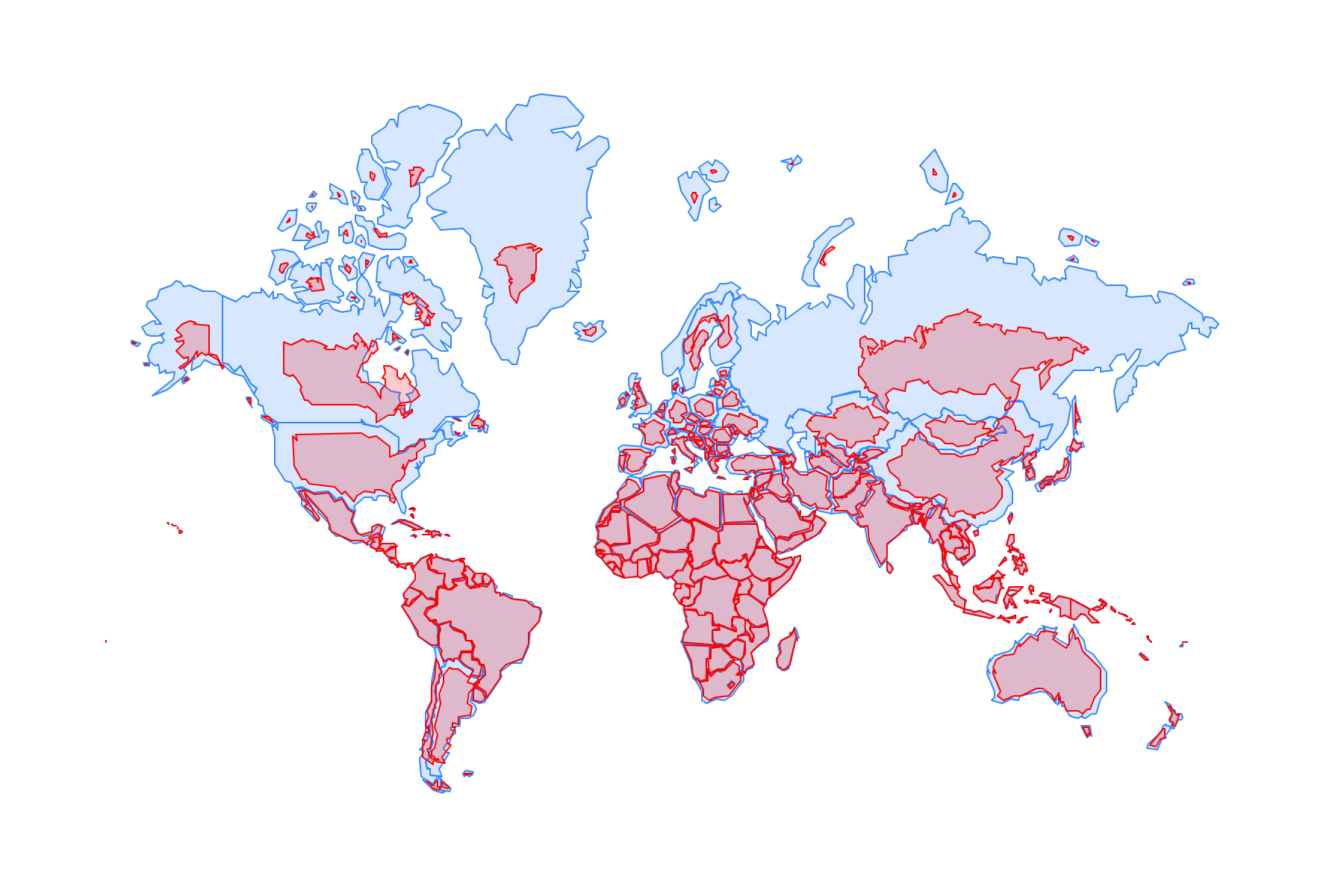
Incorporating actual physical parameters fundamentally changes the global outlook. On average, the global baseline sea level has been underestimated by 24–30 centimeters. The geography of these statistical errors is uneven. In parts of Southeast Asia and the Indo-Pacific basin, actual water levels are 100–150 centimeters higher than theoretical calculations. In extreme cases where the influence of currents and winds is strongest, the gap between theoretical models and actual measurements reached 550–760 centimeters.
Sea Level Impacts on Coastal Infrastructure
This error in baseline data has immediate implications for global climate risk assessments and coastal economies. The UN Intergovernmental Panel on Climate Change (IPCC) previously projected a sea-level rise of 28–100 centimeters by 2100. However, because the actual starting point is already higher than modeled, threats to infrastructure and coastal settlements will manifest much sooner than expected. The study’s authors are calling for an immediate revision of global methodology, urging engineers and urban planners to base flood risk assessments on local measurements rather than averaged planetary models.